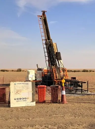
Geophysical Services
Our capabilities include Borehole Geophysical Surveys, Geological Modeling, and advanced Data Processing for Reserve Estimation. We operate truck-mounted geophysical units equipped with a diverse range of probes and integrated data processing systems.
Magnetic Survey
Magnetic surveys are passive, meaning they measure naturally occurring fields rather than injecting energy into the ground.
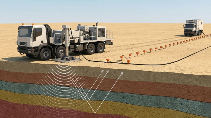
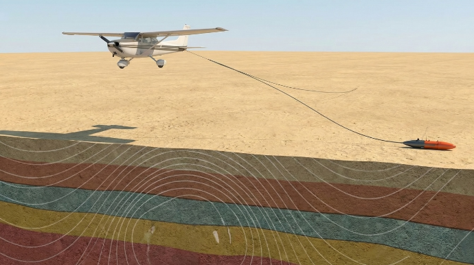
Seismic Survey
This is the most widely used method for mapping stratigraphy and geological structure, particularly in the energy sector.
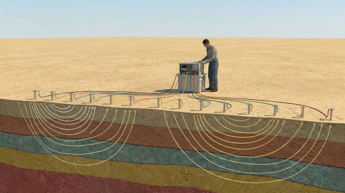
Electrical Resistivity Survey
This method is highly effective for distinguishing between materials that conduct electricity (like salty water or clay) and those that resist it (like solid rock).
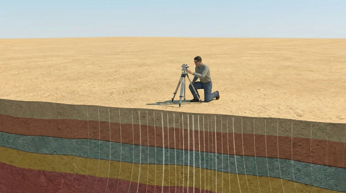
Gravity Survey
Gravity surveys rely on the principle that denser rocks exert a slightly stronger gravitational pull than less dense rocks.
Geophysical Services
Our capabilities include Borehole Geophysical Surveys, Geological Modeling, and advanced Data Processing for Reserve Estimation. We operate truck-mounted geophysical units equipped with a diverse range of probes and integrated data processing systems.
Magnetic Survey
Magnetic surveys are passive, meaning they measure naturally occurring fields rather than injecting energy into the ground.
Seismic Survey
This is the most widely used method for mapping stratigraphy and geological structure, particularly in the energy sector.
Electrical Resistivity Survey
This method is highly effective for distinguishing between materials that conduct electricity (like salty water or clay) and those that resist it (like solid rock).
Gravity Survey
Gravity surveys rely on the principle that denser rocks exert a slightly stronger gravitational pull than less dense rocks.
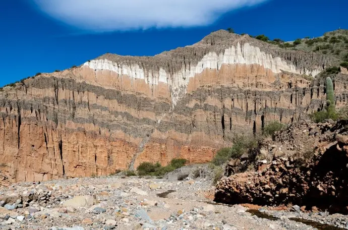
Geological Services
Our comprehensive geological services provide the foundational data and expert analysis required for successful exploration and development projects.

Geological Mapping & Field Investigation
The foundation of almost all geological work. It involves "boots on the ground" to observe, measure, and record rock types and structures visible on the surface.
Geotechnical Site Investigation
Focuses on the engineering properties of the soil and rock, ensuring that the ground is stable enough to support construction.

Geochemical Sampling & Analysis
Geophysics looks at physical fields, geochemistry looks at the chemical composition of the earth to find "halos" of minerals that might be hidden underground.
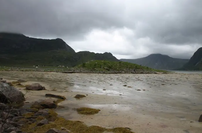
Hydrogeological Services
This branch focuses specifically on the distribution and movement of groundwater within the soil and rock.
Geological Services
Our comprehensive geological services provide the foundational data and expert analysis required for successful exploration and development projects.
Geological Mapping & Field Investigation
The foundation of almost all geological work. It involves "boots on the ground" to observe, measure, and record rock types and structures visible on the surface.
Geotechnical Site Investigation
Focuses on the engineering properties of the soil and rock, ensuring that the ground is stable enough to support construction.
Geochemical Sampling & Analysis
Geophysics looks at physical fields, geochemistry looks at the chemical composition of the earth to find "halos" of minerals that might be hidden underground.
Hydrogeological Services
This branch focuses specifically on the distribution and movement of groundwater within the soil and rock.
Our Trusted Partners & Clients
We are proud to have collaborated with leading national and international organizations across the mining, energy, and resources sectors.


Our Trusted Partners & Clients
We are proud to have collaborated with leading national and international organizations across the mining, energy, and resources sectors.